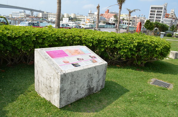
Tomari Port and Nearby Historical Sites
History
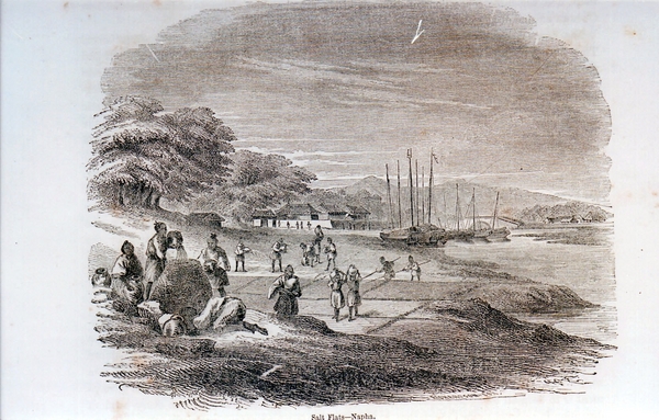
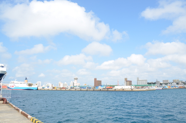
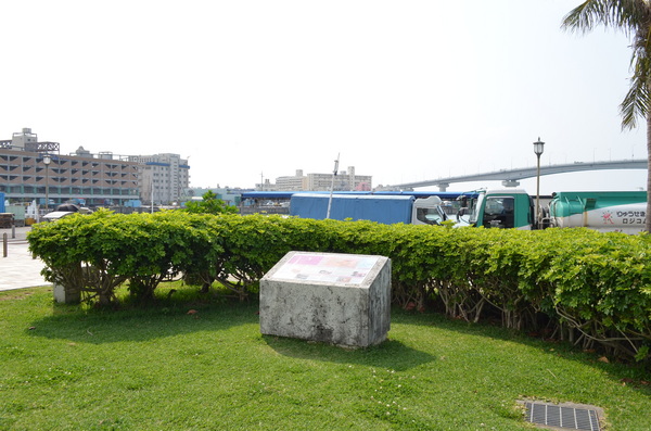
Tomari Port was connected to Urasoe and Shuri through land route; those towns were the center of Ryukyu kingdom. Tomari Port was located at the mouth of the Asato River, which had good access to land routes and waterways. Therefore, Tomari Port was busy during the 13th-14th centuries. Many ships visited there from Miyako, Yaeyama and Amami-oshima.
Basic information
- Address
- 900-0016 3-25-1 Maejima Naha Okinawa At Tomari Ryokuchi (Green Field) Park
- Business hours
- 24H
- Close day
- None
- Charge
- Free
- Access information
- About a 10-minute walk from the Miebashi station, a
2-minute walk from the Tomari-takahashi bus stop.
Additional Information
- Academic information
- Tomari port was connected to Urasoe and Shuri through land route, those towns were center of Ryukyu kingdom. Tomari Port was located at the mouth of the Asato River, which had good access to land routes and waterways. Therefore, Tomari port was well turnout in 13th-14th century. Many ships accessed there from Miyako, Yaeyama and Amami-oshima.
At that time, there was the office called Tomari-udun which dealt with archipelago administration and the tribute warehouse called Oshima-sou at Tomari. But, later on, Naha Port was built as the kingdom's main port with international trading development; then Tomari Port's function shifted to Naha Port.
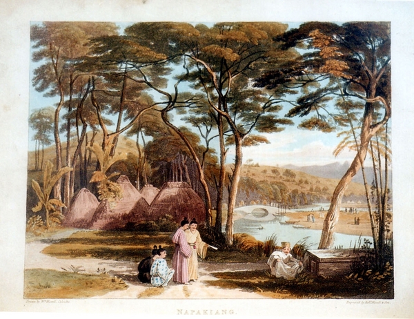
After 19th century, when foreign ships from Great Britain, France, America and, Russia started to access Ryukyu, they didn't let foreign ships use Naha Port because there were Satsuma clan's governmental office and other important facilities gathered in Naha. Off the coast of Tomari Port was designated for foreign ships to lay anchor and station; then Tomari Port later became the landing point for foreign vessels.
Today, there are historic monuments commemorating a French missionary billet, foreigner's cemetery and Commodore Perry’s landing point, showing the interchange between Ryukyu and Western countries.