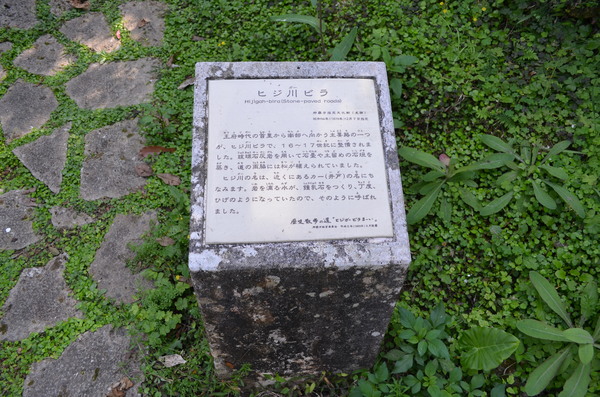
Hiji River Villa
Historic sitesNature
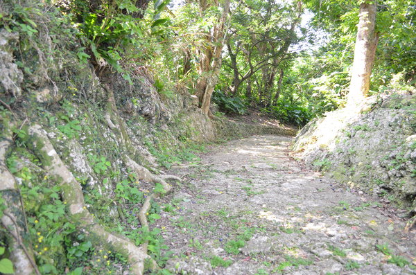
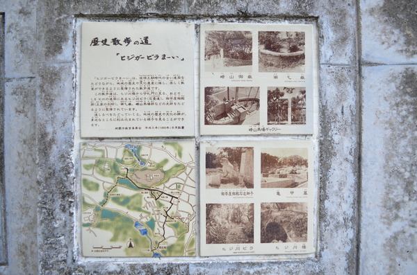
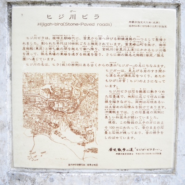
This road is the one of the 3 roads extending to Shimajiri in the south from Shuri during the Ryukyu Dynasty period. The road started from under the cliff called Amagoitaki which connects to Uchyayaudun (also known as Touen), and then crosses the Hiji River Bridge, then passes through the east side of the Shikina Baba (horse-racing track), and meets the Madamichi which extends from Shuri Kinjo-cho Ishidatami Michi. The road was a part of the route for reaching the Shikina en (Garden) (also known as Nan en).
Basic information
- Address
- 903-0814 4 Sakiyama-cho Shuri Naha Okinawa
- TEL
- 098-917-3501 (English is not supported) Municipal cultural property division of Naha city
- Business hours
- Nothing in particular
- Close day
- Nothing in particular
- Charge
- Free
- Parking
- None
- Access information
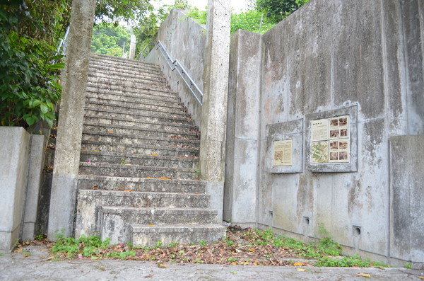
- From the Nogyo Shikenjo-mae bus stop, it is about a 3-minute walk on the Kinjo-cho, Shuri side. On the right, there is a stone monument guide and stairs.
Additional Information
- Academic information
- Cultural property(Municipal designated historical site)
Designated date: December 7, 1979
It is said that the name "Hiji River" originally came from the old well located on the west of the hill. Hiji means “beard” in Okinawan dialect, and the way water runs and falls reminds one of a beard. It is believed to have been made in the 16th or 17th century. The slope was installed skillfully to the valley-shaped land, and the rocks for the wall to stop landslides were cut and stacked to match the landscape on both sides of the road. Before the war, both sides of the road were lined with pine trees which balanced with the surrounding scenery. The width of the road was 1.8 ~ 2.3m and now, about 145m of the south part remains and about 110m of it expresses the old style well. - Quote
- Naha Board of Education Cultural Heritage Division (2007) "Naha Cultural Property" Naha Board of Education